DRIVe
Integrated wireless system for data communication and reception
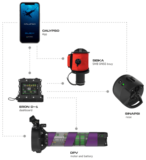
DRIVe: smart navigation, total control
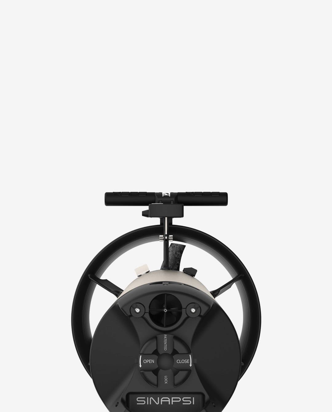
DRIVe is the integrated SUEX system designed to give the diver detailed information before, during and after the dive. Built on advanced navigation technology, it provides useful data on the position of the DPV, supporting dive management, course keeping and safety while navigating underwater. By combining its devices, DRIVe makes for a more precise, more informed and safer navigation experience.
Parts of the DRIVe system
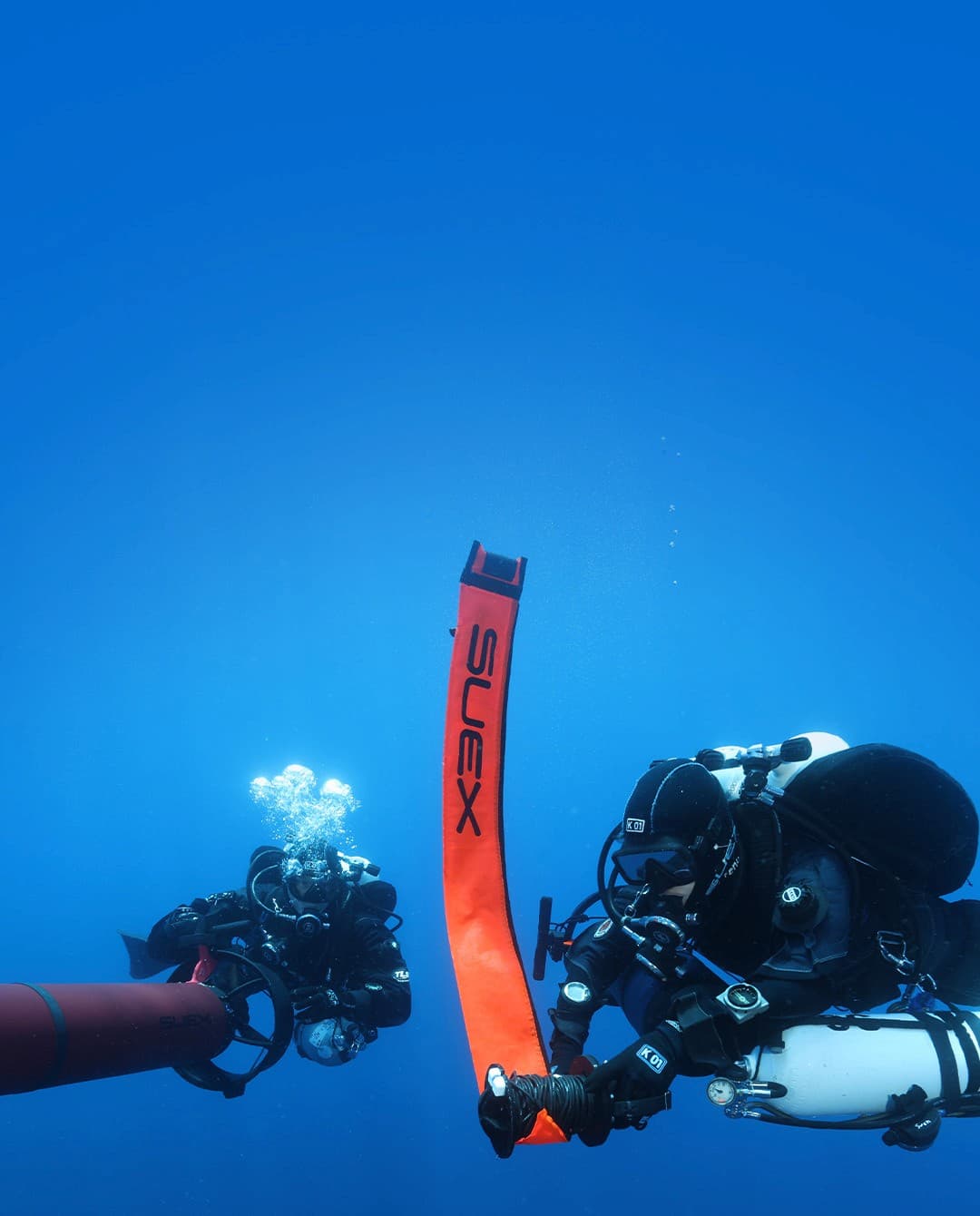
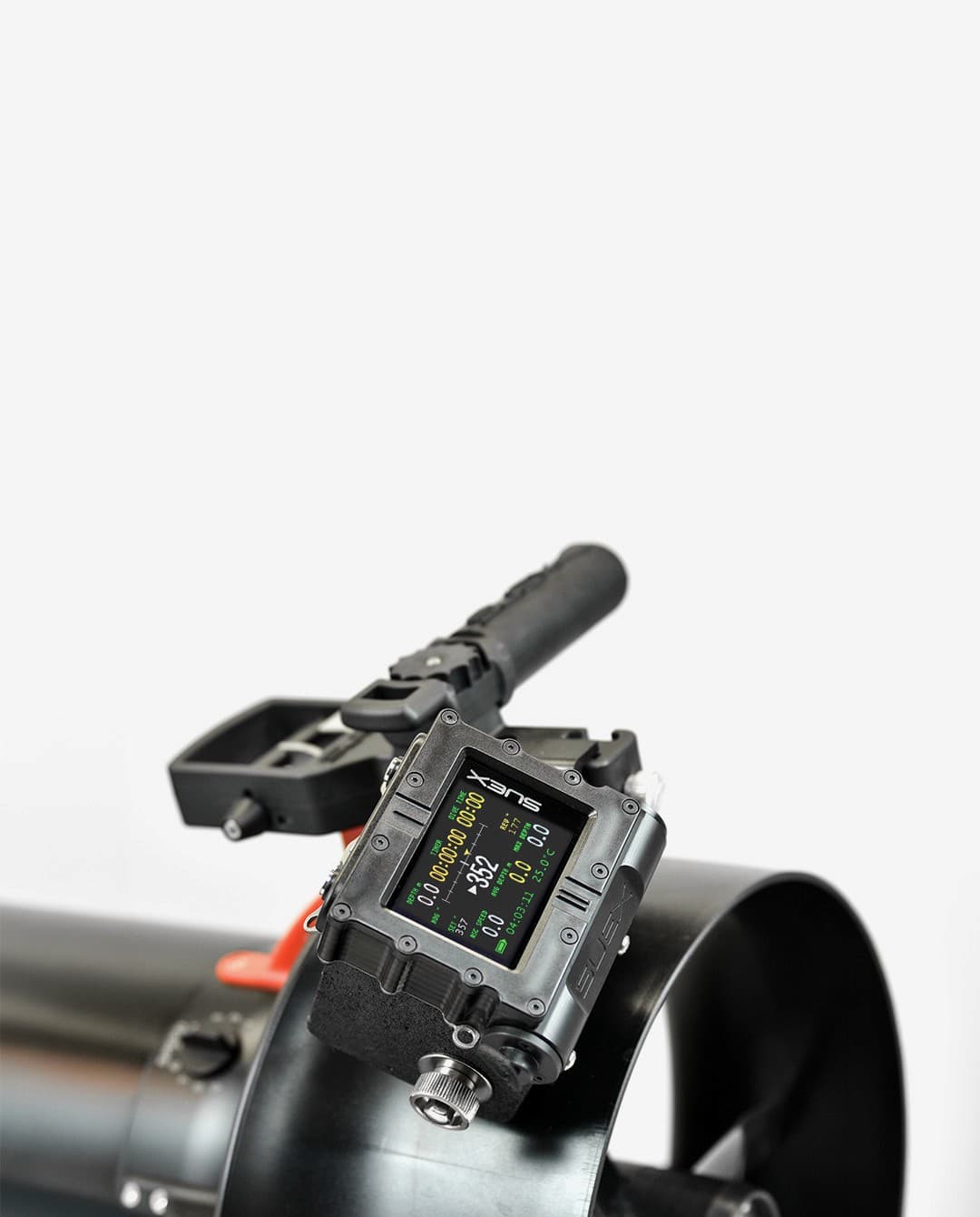
PHASES OF THE DIVE
BEFORE THE DIVE
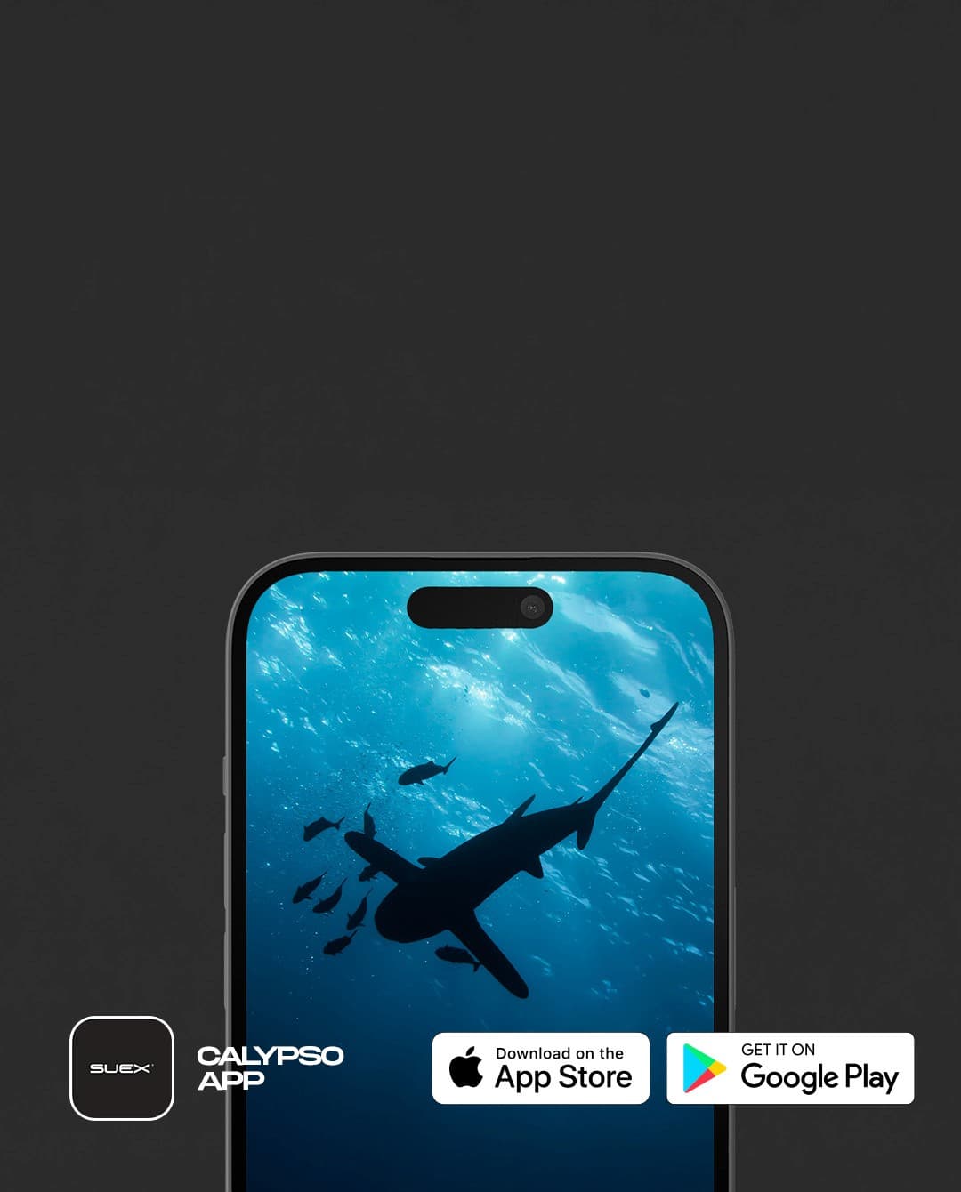
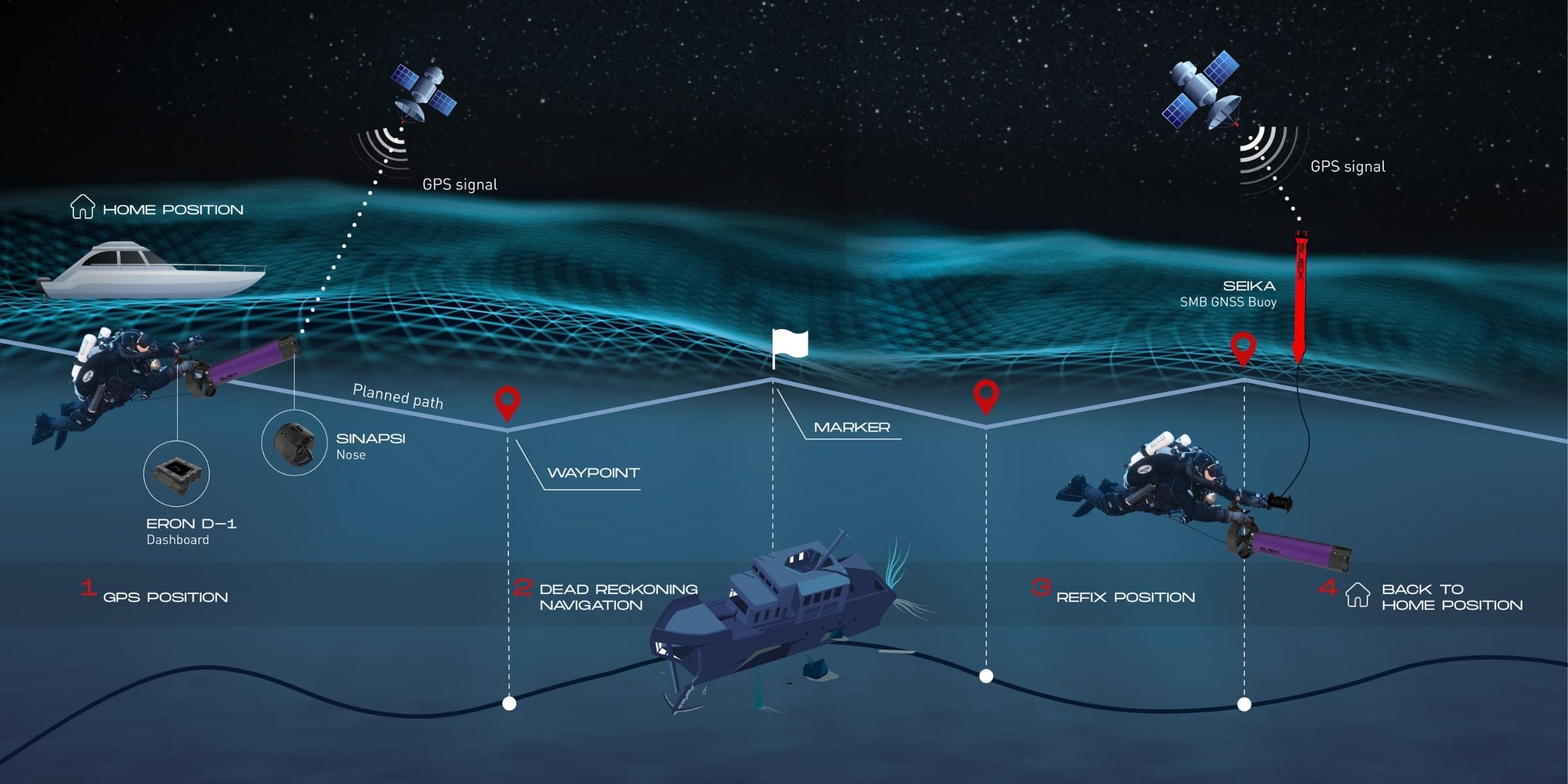
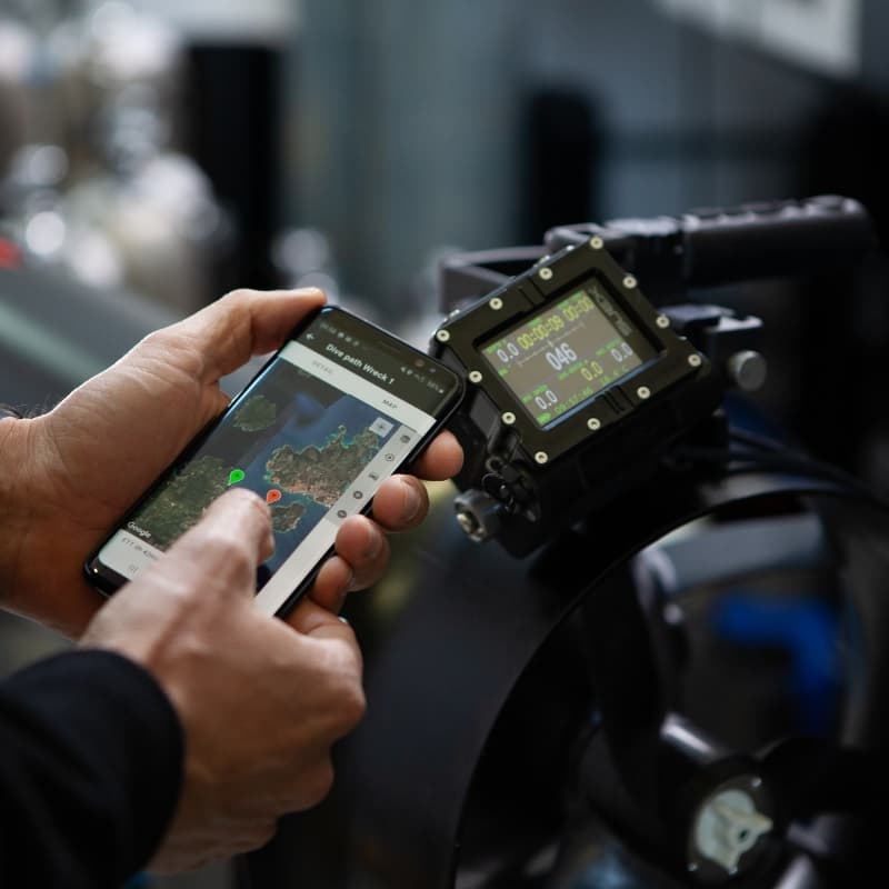
Plan your route straight from the Calypso app, setting waypoints, the navigation path and the return to your starting point. Before the dive you can locate the DPV, check the battery status and make sure everything is ready for precise, safe navigation.
DURING THE DIVE
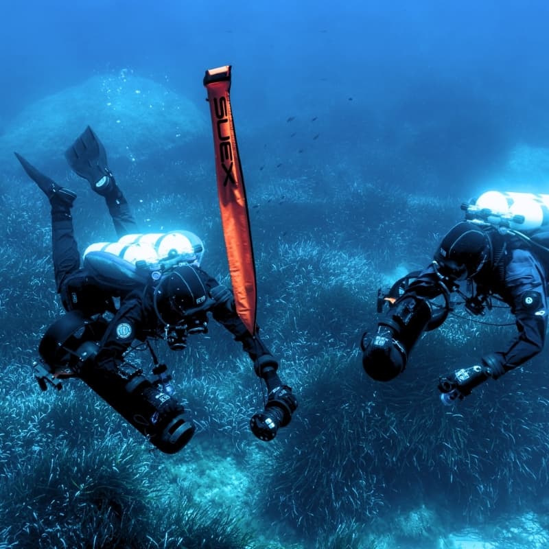
DRIVe supports the diver while navigating by recording the route, tracking the position of the DPV and letting you add markers along the way. The system lets you follow the set route, return to your starting point and keep heading, range and battery status under control.
AFTER THE DIVE
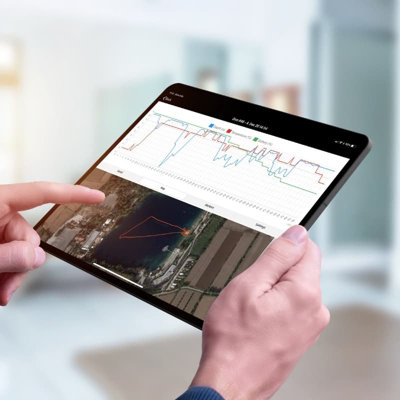
At the end of the dive you can download and analyse the data you collected using the Calypso app or a PC. The system lets you review detailed logs, see the geolocated route, check the battery data and build a dive archive with your recorded routes and markers.

GPS vs GNSS
DRIVe uses GNSS, a global satellite network that combines several constellations rather than GPS alone. This gives greater accuracy and reliability when fixing geographic coordinates, whenever the system is working in conditions where the satellite signal is available.